| Ecosystem |
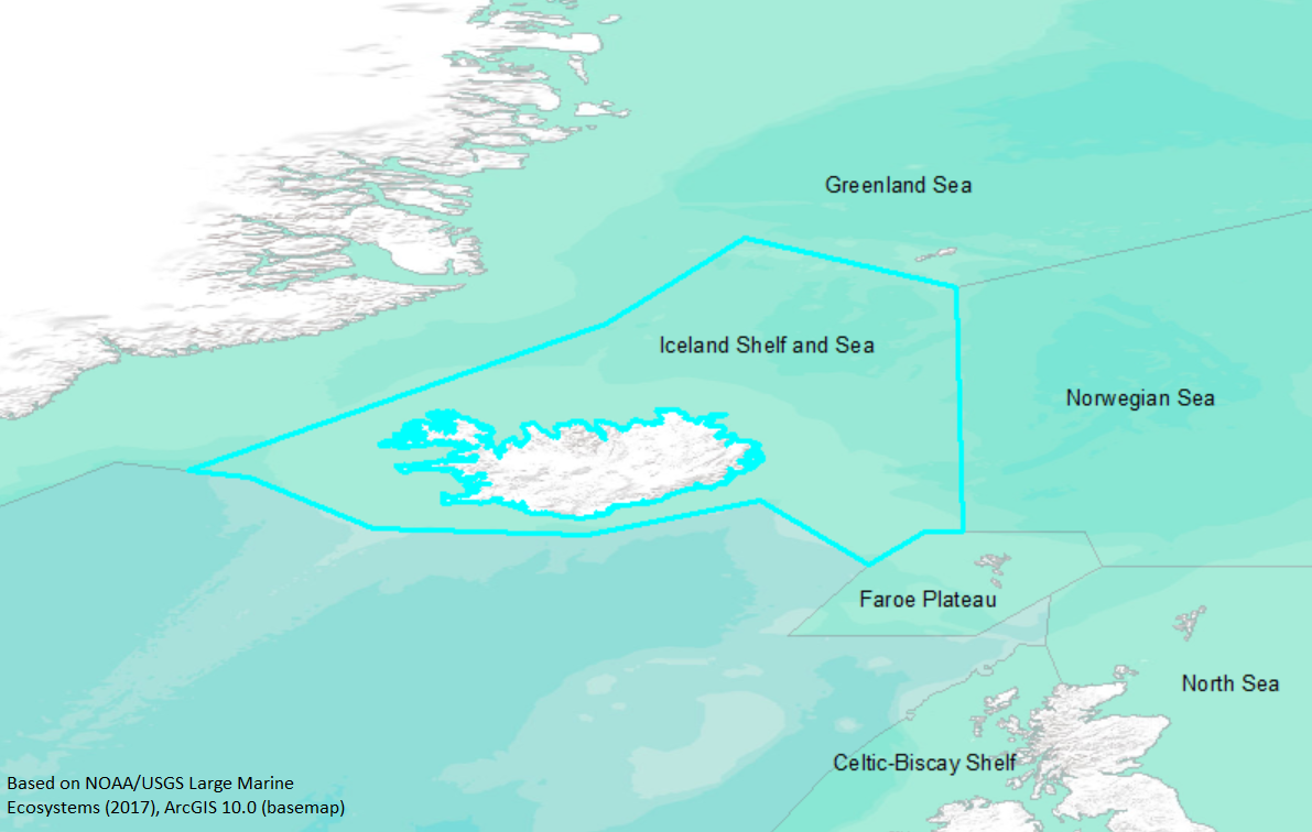
Iceland Shelf and Sea |
| Type |
Sea/Bay/Gulf |
| Salinity |
saltwater |
| Other Names |
SAU name: Iceland Shelf and Sea. |
| Location |
|
LME SAU No 59. North Atlantic, shelf around Iceland. Overlaps with Denmark strait (137). LME2002, Modified LME 2006, SAU 2008. |
71° N 62° N - 29° W 7° W |
|
| Location Map |
Iceland_Shelf_and_Sea.png |
| Size Ref |
|
River Length |
|
Area |
476481 km2 |
Drainage Area |
|
|
| Depth |
|
Average Depth |
|
Max Depth |
|
Ref |
|
|
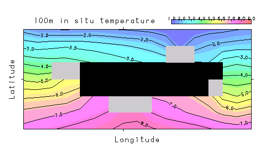
| Temperature |
|
| Description |
Surrounding Iceland is the Iceland Shelf/Sea LME, a unique area with a wide volcanic margin marked by broad valleys; the slope is generally sharply defined, with wider rises to the south. Its hydrography is complex, with warm, saline, northward-flowing Atlantic water on the east, and cold, fresh, southward-flowing Arctic water on the west, as well as a clockwise circulation gyre around the island. Cod and redfish are the most important commercial species in this LME (http://www.na.nmfs.gov/lme/text/lme19.htm; formerly Iceland Shelf). Contains all marine fishes of Iceland. |
| Comments on faunal list |
Area from SAU (November 2015). |
| URL 1 |
http://www.seaaroundus.org/lme/19.aspx |
| URL 2 |
|
| Ecosystem Checklist Link |
|
| Total |
|
Species |
Families |
Species |
Families |
Reference |
|
151 |
81 |
|
|
35388 |
|